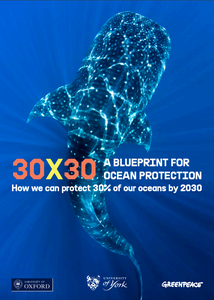
 The report 30 × 30: Roadmap for Oceans Protection is the culmination of a year of collaboration between scientists from Greenpeace as well as York and Oxford universities [1]. To carry out this study, one of the largest of its kind ever conducted, researchers divided the high seas (which cover almost half of the Earth’s surface) into 25,000 “squares” of 100 km each, then mapped the distribution of 458 conservation criteria (species, habitats, oceanographic features, etc.), generating hundreds of possible scenarios for the creation of a global network of marine reserves, in which destructive human activities would be prohibited.
UN negotiations are currently taking place which aim to establish a global treaty for the protection of the “high seas”, or international waters, which extend beyond the jurisdictions of coastal countries and cover 230 million km2. This study examines what the protection of 30-50% of the oceans would mean in practice – two options are evaluated against conservation objectives. This interactive map explores various protection scenarios, as well as wildlife hot spots and threats to the ocean.
Download the executive summary
[1] 30×30: A Blueprint for Ocean Protection builds on a scientific study by a team of experts which was led by Professor Callum Roberts to design a marine protected area network for the high seas. We acknowledge the sharing of data from Atlas of Marine Protection, Global Fishing Watch, Birdlife International and L. Watling, and thank K. Boerder for her assistance with accessing and interpreting data. We would also like to thank all the sources who made their data freely available. The study was financially supported by the ‘Umweltstiftung Greenpeace’ (Environment Foundation Greenpeace), Germany, which promotes the protection of the environment and nature, as well as peace research. It supports Greenpeace campaigns and other conservation projects all over the world.
Discussion
I believe fast action is needed. Air scrubber on every cell tower would start to take back air pollution mixing with our waters. Cell towers have their own pollution they should be allowing free access. Donations by the scrubbers
Comments on how to protect 30% of the oceans by 2030 report. I read your report with great interest. Have always loved the oceans particularly after watching Jacques Costeau's wonderful TV docs. Of course most people want to see the oceans viable and bountiful for many years to come! (Not just for the beauty of the oceans but for the healthy balance of the planet). The report has many common sense ideas -deep sea mining is not sustainable and could destroy many ecologically important areas. The same with deep sea trawling, which sounds like a horror story of wanton destruction without even knowing the incredible diversity of what is being destroyed! The oceans and all the bounty therein belongs to all of us and not the greedy few out to make a quick buck and in the process could be destroying an incredible ecosystem necessary for the sustaining of life on Earth. Rules and overseeing of the oceans and fisheries on a global scale must be in place and are long overdue.